This year’s El Niño is a record-breaking one
The surface of the Pacific Ocean is already at record-breaking temperatures, and the El Niño weather phenomenon appears to be developing into an extremely powerful ‘super’ variant.
There is nothing to compare it with, says climate researcher Gustav Strandberg.
Recently, the sea surface temperature in a monitoring region in the Pacific Ocean reached 3.07 degrees above normal. Scientists use this region as a benchmark to gauge the strength of an El Niño event. The temperature is on a par with the strongest El Niño event to date, which occurred in 2015, according to the climate website Carbon Brief in a recent analysis.
The difference is that it has already occurred in September – the phenomenon usually reaches its peak around Christmas.
“There is much to suggest that it will continue to get warmer,” says Gustav Strandberg of the SMHI.
The winds are shifting
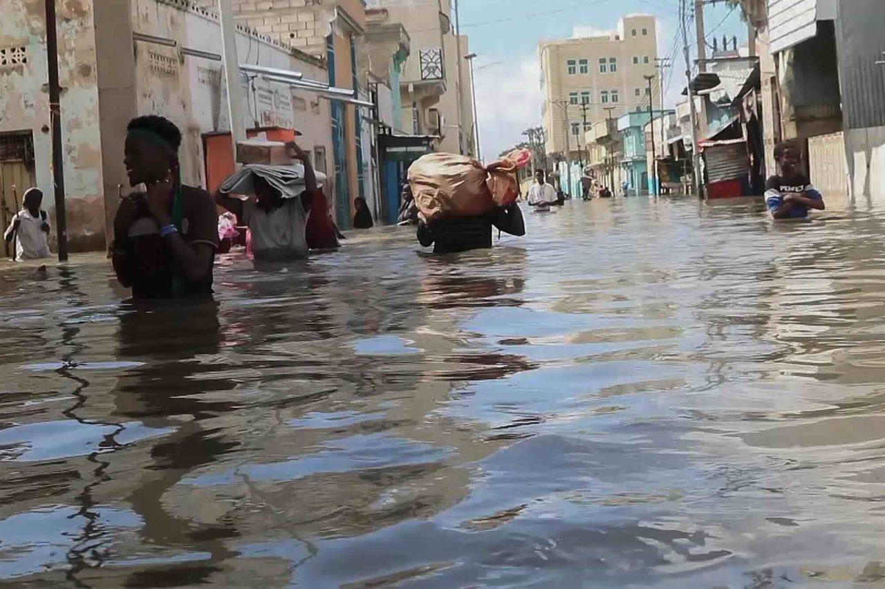
El Niño occurs when the winds over the Pacific Ocean stall or shift eastwards, causing warm surface water to spread towards the western part of South America. It is, in itself, a naturally occurring phenomenon that affects the weather across a vast area around the Pacific Ocean. In some places it becomes hot and dry, in others very wet.
Strandberg sees the fact that this year’s El Niño is already so powerful as a sign that climate change is fuelling the phenomenon.
As it gets warmer, the likelihood of very high temperatures in this particular area will also increase. And that is why we are seeing such extremely intense El Niño temperatures.
An uncertain future
El Niño is likely to drive the global average temperature up to new record levels, as the phenomenon is so extensive in itself that it tends to raise the annual average. There is also a risk that this amplified El Niño will exacerbate extreme weather and deal a severe blow to marine ecosystems, for example by leading to coral bleaching.
But we do not yet know this, as the interrelationships between the ocean, the atmosphere, wind and precipitation are so complex.
“Climate change is ushering us into a new and unknown world,” says Gustav Strandberg.
El Niño and La Niña are phases of the El Niño–Southern Oscillation (ENSO) weather cycle. El Niño warms the surface waters in the eastern parts of the Pacific Ocean, whilst La Niña cools them.
El Niño recurs on average every two to seven years and usually lasts nine to twelve months. It often peaks around Christmas, hence the name El Niño (the ‘boy child’ – that is, Jesus).
El Niño effects, such as increased rainfall, usually affect parts of southern South America, the southern United States, the Horn of Africa and Central Asia, whilst severe drought can occur across Australia, Indonesia and parts of South Asia.
Sources: WMO, SMHI, NOAA